

Everything You Should Know Before Hiking the Tre Cime loop
Le Tre Cime di Lavaredo (which means “Three Peaks”) is one of the most iconic sights in the Dolomites and a must-do hike for anyone visiting the area! The best way to experience these stunning peaks is by hiking the loop trail that circles around them. In this guide, I’ll cover everything you need to know before hitting the trail — including key tips, common mistakes to avoid, and important things to keep in mind for your hike.
At a Glance
Starting Point: Rifugio Auronzo
Distance (Classic Loop): 6.2 miles (10 km)
Duration: 3.5 – 4.5 hours (Plus stops for photos/lunch)
Elevation Gain/Loss: Approx. 1,300 ft (400 m)
Difficulty: Moderate (Well-maintained trail, but steep in some areas)
Best Season: Late June to late September/Early October
Disclaimer: We use affiliate links and may receive a small commission on purchases at no extra cost to you. Thank you for your support!
Getting to Rifugio Auronzo
The trail starts around 20 minutes from Cortina at Rifugio Auronzo, as of 2025 there are restrictions to driving up there so read below to see your options.
Driving and Parking
Important Update for 2025: Access to the toll road is now only available through online pre-booking for a specific time slot. You can’t just show up and pay anymore, so make sure to plan ahead!
Cost:
- Cars: €40 (valid for 12 hours)
- Campers/Vans: €60
Keep in mind that fines apply if you stay longer than your reserved time.
When to book: It’s best to reserve your spot at least 48 hours before you go – especially on weekends or during peak summer months. When you book, your license plate serves as your ticket, so there’s no need to print anything.
The road usually opens seasonally from late May to October, depending on weather conditions. Entry is managed by a toll booth, and they’ll automatically recognize your license plate when you arrive.
Public Transport
If you’d rather skip the toll and hassle of finding parking, taking the bus is a great alternative. It’s stress-free, scenic, and cheaper than driving up yourself.
Bus Schedule: During the summer, you can take the DolomitBus LineA 50, which runs from Calalzo Fs – Auronzo – Misurina Genzianella – Tre Cime. Tickets cost €10 round trip, and the bus drops you off right in the Tre Cime parking lot. You can buy your ticket online in advance if you want to plan ahead, but it’s not required—tickets are also available on the bus or at the kiosks near the stop on the same day.
Tip: Double-check the last return bus time before you go (usually around 7 PM) so you don’t end up stranded at the top after a long hike.


Free Option: Hiking Up
A free alternative is to hike up on your own via Trail 101/103 from Lago Antorno or Misurina. Keep in mind, this adds a significant distance, around 4 km one-way and over 500 meters of elevation gain before you even start the Tre Cime loop. This will be a challenging full-day trek and I only recommend it if you are an experienced hiker.
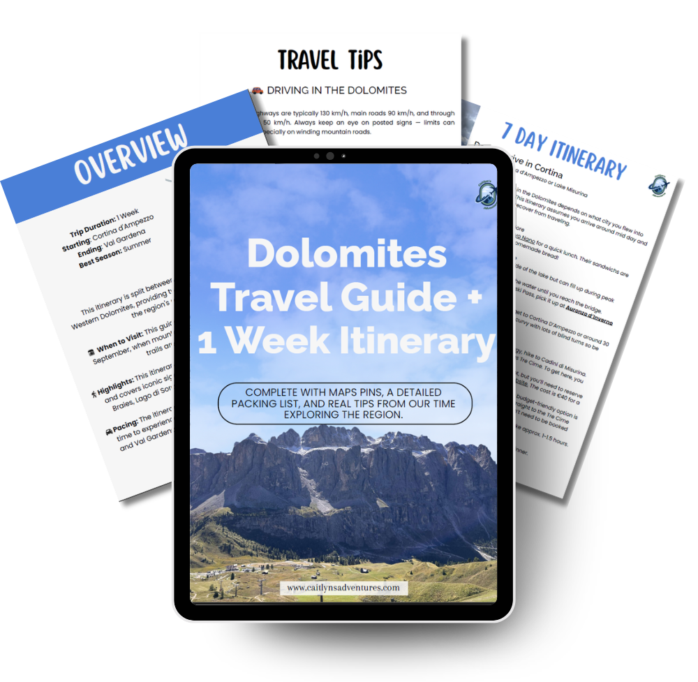
Dolomites Travel Guide + 7 Day Itinerary
A complete 7 day Dolomites travel guide split into 4 days in the east and 3 days in the west, designed to help you explore must-see viewpoints, hikes, and hidden gems without the stress of trip planning. Includes a custom map, packing tips, accommodation suggestions, and a detailed day-by-day itinerary.
Hiking the Tre Cime Loop
I recommend doing the loop counter-clockwise, as this way saves the best views for the second half and you’ll be going with the flow of traffic.
Start at Rifugio Auronzo
The trail begins at Rifugio Auronzo, following a wide gravel path that leads toward Rifugio Lavaredo. There are bathrooms near the rifugio — just off to the left, close to the parking lot. It costs €1 to use them, so make sure you have a little cash on hand.
The path itself is mostly flat and easy, taking about 30 minutes to reach the second rifugio. On a clear day, you’ll have stunning views of the Cadini di Misurina peaks off to your right.


Rifugio Lavaredo to Rifugio Locatelli
From here you’ll begin making your way towards Rifugio Locatelli. You have two trail options:
Upper Trail (left): A steep but quick 650-meter climb that takes about 10–15 minutes. It’s more strenuous but shorter.
Lower Trail (right): A gentler 1 km route that starts flat and gradually climbs. It’s easier but takes about 20–25 minutes.
Both trails meet at the top of the hill, where you’ll get views of Tre Cime (though not all three peaks) to your left and sweeping views of the valley below with the Dolomites in the background.

From the top, it’s about 2 km to Rifugio Locatelli, mostly downhill on a wide gravel trail. Keep an eye behind you for stunning views of Tre Cime. At the next trail junction, you can either turn right to reach Rifugio Locatelli, or continue straight on Trail #105 to bypass it and complete the loop.
Rifugio Locatelli

The loop to Rifugio Locatelli adds about 0.6 miles and includes a steep climb up to the hut. This marks roughly the halfway point of the hike and makes a great spot to take a break and refuel. You can grab drinks and snacks at the outdoor bar or order a full meal inside. There’s also a large terrace with picnic tables where you can relax and take in breathtaking views of Tre Cime.

We shared the pasta soup and mushroom polenta – both were absolutely delicious! From the terrace, you’ll have beautiful views of Tre Cime and the surrounding valley. Just behind Rifugio Locatelli are two colorful alpine lakes that are definitely worth a quick look before heading back down. When you’re ready to continue, follow the path downhill to the trail junction at the base of the hut and stay right to continue on trail #105.

Rifugio Locatelli to the Parking Lot
From here, you’ll follow a series of switchbacks down into the valley. After crossing the valley, you’ll start climbing the hill on the far side—this is the most challenging part of the hike. Once you reach the top, take a moment to look back and soak in the incredible views.

From here, it’s not much farther to Malga Langalm, though the trail has a few ups and downs along the way. The trail is pretty rocky for a bit, so be sure to watch your step and take you time. Here you’ll have different views of Tre Cime on the left, so be sure to stop for a few more pictures from time to time.


Right before reaching Malga Langalm, you’ll come across a freshwater source where you can fill up your bottles for free. If you haven’t already, this hut is also a great place to grab a snack or drink and use the bathroom before tackling the final stretch.
After leaving Malga Langalm, it’s not too much farther until you reach the parking lot, though there are still a few short inclines before you finish. Toward the end, you’ll get another glimpse of the Cadini di Misurina peaks.


Essential Insider Tips & Packing Guide
Altitude: The entire hike is above 2,300m (7,545 ft) so the hike may be a bit harder for those sensitive to higher altitudes. Reminder to pace yourself and hydrate frequently.
Layering is Key: Even in summer, it’s smart to pack a hat, gloves, and a wind/waterproof jacket. The weather can change fast up here, and you’ll want to be ready for it. We started our hike in short sleeves and ended with our jackets and hats on as the wind picked up and thick clouds rolled in!
Bring Cash. Must of the rifugios do not accept credit cards for food and drinks so you’ll need to have cash on hand. Also be sure to have a few coins because the bathrooms do cost 1 euro to use and they do not always have change.
Leave No Trace: As always, it’s important to stay on marked trails, pack out all your trash, and leave the area just as beautiful as you found it.
Wear Proper Shoes: The trail has a mix of rocky and uneven sections, so sturdy hiking shoes or boots are a must. Good traction makes a big difference, especially on the steeper or gravelly parts.
Tre Cime Loop
The Tre Cime Loop is easily one of my favorite trails I did in the Dolomites! It offers incredible views not just of Tre Cime itself, but of the surrounding peaks the entire way. If you have the time, you’ll definitely want to add this hike to your itinerary — it’s one of those trails that truly lives up to the hype.
Planning a trip to the Dolomites? Check out these resources below to help you plan the perfect trip!
- The Ultimate Guide: How to Plan the Perfect Trip to the Dolomites
- Exploring the Dolomites in 7 Days: A Complete Travel Guide & Itinerary
- The Real Cost of Spending a Week in the Dolomites (With a Full Breakdown)
- Where to Stay in the Dolomites: Best Towns and Villages


bookmarked!!, I like your site!
I’m very pleased to discover this web site.
I wanted to thank you for your time for this wonderful
read!! I definitely appreciated every little bit of it and
I have you book marked to check out new stuff on your web site.
I really like what you guys are usually up too. Such clever work and coverage!
Keep up the excellent works guys I’ve you guys to blogroll.
Look at my website Find Tips Here